
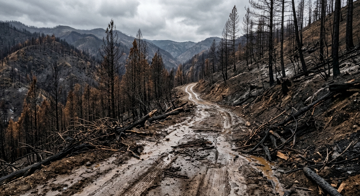
AI-generated illustration; not a photograph of the reported event.
- calendar_today November 12, 2026
Preliminary Report Warns of Elevated Risks
A preliminary report from British Columbia’s Ministry of Forests warns of a high risk of landslides, floods, and debris flows in parts of the Cariboo region following the massive Pear Lake wildfire earlier this year. The findings highlight the hazards facing communities and infrastructure in the aftermath of the season’s largest wildfire in the province.
Pear Lake Wildfire's Impact on the Region
The Pear Lake wildfire burned more than 1,600 square kilometres of land in the Clinton area—an area a little over half the size of Metro Vancouver—making it the largest wildfire in British Columbia for 2026. The blaze led to the destruction of over a hundred structures and prompted the evacuation of hundreds of properties, greatly affecting local residents and their homes.
Geotechnical and Hydrological Risks Identified
The ministry’s preliminary report assessed how wildfire damage increased geotechnical and hydrological risks. According to the report, roads, railways, and properties, especially those near creek beds, riverbeds, or the base of steep slopes where terrain has burned severely, are most at risk.
The devastation of natural drainage systems, coupled with scorched soil that now repels water, adds to these hazards. Rainfall and spring snowmelt—which increase water flow—heighten the risk of soil instability and surface water runoff, leading to landslides and debris flows.
Warnings and Local Experiences
The Thompson Nicola Regional District issued a warning to residents on Monday, with communications manager Colton Davies emphasizing that landslide and flood risk is highest in the two years following a wildfire. Davies noted that the risk escalates when rain is expected or during the spring freshet, as snowmelt increases river levels.
Davies added, "Wildfires generally elevate landslide risk because natural drainage systems are destroyed and scorched earth repels water.” This means soil is no longer able to absorb rainfall or snowmelt, resulting in increased water flow along the surface and raising the potential for landslides.
Recent Landslide Incidents and Mitigation Efforts
Recent weather events have already caused issues in the Clinton area. Nor Parke, owner of the Hitchin' Post Ranch, reported that a rainstorm about a month ago caused a creek dam to back up with soot and debris from the wildfire, flooding a nearby road about five kilometres west of the ranch. The road was impassable for about a day. During the same night, two additional landslides occurred in nearby locations, both of which have since been cleared by crews.
Parke mentioned that B.C. Hydro workers assisted neighbors in diverting potential landslide threats, and that property owners remain vigilant about upcoming weather. “We’re hopeful it doesn’t happen again,” said Parke.
Next Steps: Further Study and Ongoing Risk
The Ministry of Forests is now preparing a more detailed report on post-wildfire hazard risks for the Cariboo region, expected to be released in December. Meanwhile, residents and officials are closely monitoring weather conditions and preparing for further possible landslides or flooding events as the landscape continues to recover from the wildfire’s aftermath.
Related coverage
Source: cbc.ca.