
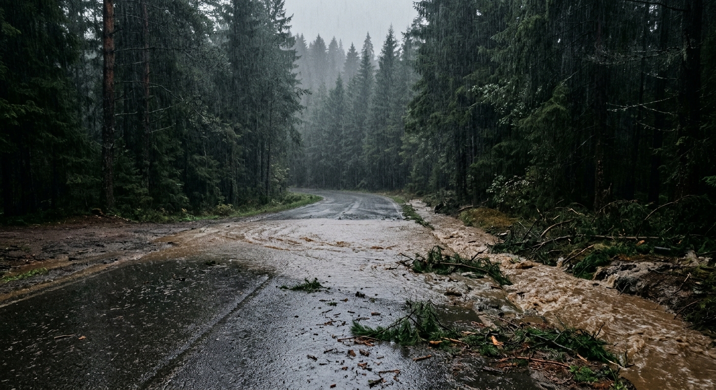
AI-generated illustration; not a photograph of the reported event.
- calendar_today November 10, 2026
Heavy Rainfall Strikes Southwest B.C.
Southwest British Columbia is experiencing a series of intense storms, with forecasts predicting more than 250 millimetres of rain in some regions. Environment and Climate Change Canada (ECCC) has issued multiple weather warnings as the latest frontal system is set to bring persistent heavy rain to areas such as Vancouver Island and the region's river basins.
Flood Watches and Rainfall Warnings Issued
The B.C. River Forecast Centre has issued flood watches across the South Coast, Vancouver Island, Central Coast river basins, and the Fraser Valley. According to ECCC, an orange rainfall warning is in place for west and central Vancouver Island, with 150 to 200 millimetres of rain expected, while Metro Vancouver's North Shore, Whistler, and the Sunshine Coast are under yellow warnings, with rainfall expected to reach up to 120 millimetres in some areas.
"A very robust frontal system is set to make landfall on Vancouver Island very early Tuesday morning. Rain, heavy at times, will persist until Wednesday morning," the ECCC stated in its official warning. The agency also cautioned that, while the heaviest rain is expected to subside by Wednesday, moderate precipitation will likely continue into Thursday morning.
Impact on Communities: Power Outages and Evacuations
The weekend storms left thousands of British Columbians without power, particularly in the Central Interior and northern Vancouver Island. B.C. Hydro reported ongoing restoration efforts, complicated by fallen trees, debris, and soft ground conditions. The utility advised that access challenges have slowed repairs, especially in communities such as Zeballos on northwest Vancouver Island, where some properties remain under evacuation order following a recent landslide.
Flood and Safety Precautions
The B.C. River Forecast Centre warned of additional risks, stating, "Heavy rain and high streamflow bring increased risk for unstable banks, river erosion, submerged roads, swift water hazards, flooding and landslides." Residents are urged to stay clear of riverbanks and avoid attempting to cross flooded roads or bridges.
With warm temperatures expected to persist through Wednesday, there is potential for snowmelt from higher elevations, which could further contribute to flooding risks in shallow snowpack areas.
Hazardous Road Conditions Across the Region
An orange rainfall warning is also in effect for the Sea-to-Sky Highway, with up to 160 millimetres of rain forecast for the highway and the Howe Sound area. The Road Safety at Work initiative has advised drivers to closely monitor updates from DriveBC and be prepared for challenging conditions.
"You may not be able to see as far ahead, your tires have less grip, and you need more time and distance to stop safely," said Trace Acres, spokesperson for Road Safety at Work.
Storms Linked to Fatal Accident in Vancouver
The Vancouver Police Department reported a fatal collision on Friday involving a 78-year-old woman who was struck while crossing at an unmarked crosswalk at the intersection of Dunbar Street and West 34th Avenue. The driver involved is cooperating with investigators, and authorities are urging increased vigilance from both drivers and pedestrians during adverse weather conditions.
"We're finding that as the evenings get longer ... poor weather really reduces the visibility out there," said Sgt. Adam Donaldson of the VPD, highlighting particular concerns for pedestrians and cyclists during dark and rainy conditions.
Ongoing Monitoring and Preparedness
With more rain forecast throughout the week, the situation across southwest B.C. remains dynamic. Agencies continue to monitor weather systems and urge residents to stay informed on weather warnings, road conditions, and safety measures as the storm progresses.
Related coverage
Source: cbc.ca.